SmartCam3D®: Geospatial Augmented Reality
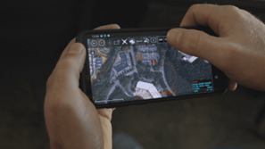
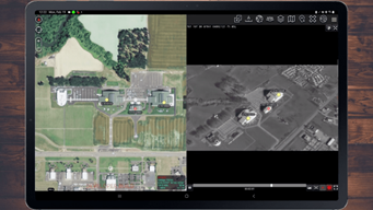
SmartCam3D® is like Google Earth for real-time full-motion video, transforming FMV into a dynamic, interactive map display with geospatial augmented reality overlays and advanced FMV Annotation tools. As a software library, SmartCam3D® can be integrated into a wide variety of applications and allows end-users to interact with FMV as if it were a map display.
SmartCam3D® Overview
SmartCam3D® is like Google Earth for Real-Time Full-Motion Video

Enjoy a Google-Earth-like experience on real-time full-motion-video with SmartCam3D®’s geospatial augmented reality overlays representing common map elements like road vectors, street names, and points of interest, and FMV annotation tools allowing you to mark targets, measure, telestrate, and geocode.
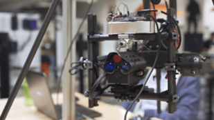
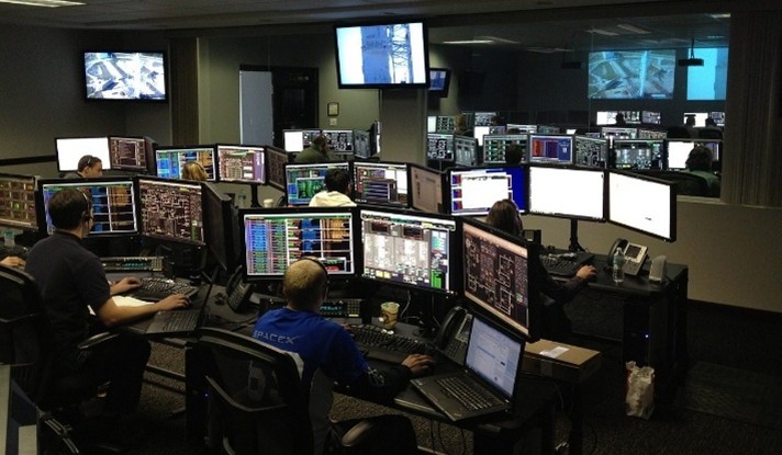
Originally tested as part of NASA’s X-38 program and used to this day in conjunction with US military unmanned systems, including the US Army’s Gray Eagle, SmartCam3D® boasts a proven track record and history of performance.
Video Overview
SmartCam3D® Features
Product Specifications
Technology
- Geospatial AR
- FMV Annotation Tools
- Situational Awareness Plugin for Video Players
Operating System
- Android, iOS, Linux, Mac, Windows
Video Formats
- MPEG/KLV – MISB 0601, 0604
- STANAG 4609
Features
- Geospatial Augmented Reality
- Road Vectors, Street Names, Points of Interest
- Custom GIS Importing
- KML/KMZ
- Geocoding
- Forward and Reverse
- Cross Cueing
- Active Cursor & Reactive Cursor
- Target Marking
- Points, Vectors, Polygons, Text
- Measurement
- Areas, Bearing, Distances
- Geospatial Telestrator
- FMV Annotations, Geospatial Context
SmartCam3D® Mission-Sets & Use Cases
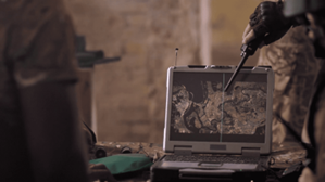
SmartCam3D® has been integrated into a wide array of platforms to enhance situational awareness since its early days as the primary flight display for the NASA X-38 in initial unmanned testing.
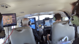
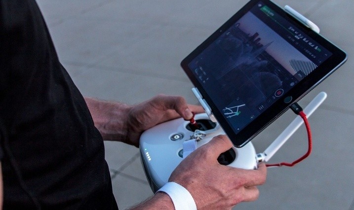
From comprehensive mission management applications for the manned ISR market to UAS Ground Control Stations supporting platforms like Hunter, Shadow, and Gray Eagle, SmartCam3D® delivers unmatched geospatial capabilities. Further integrations include web-based video players, sUAS pilot apps, and advanced plugins for the TAK ecosystem, including ATAK, TAKX, and WinTAK.
These versatile integrations show SmartCam3D® can be integrated throughout the FMV ecosystem. Contact us today to learn more about our SmartCam3D® library and how it can be integrated into your product or used to support your mission.
Explore Related Products And Solutions

TAKaaS℠: TAK Integration, Training, And Support For Mission Success
TAKaaS is a service that harnesses the full potential of the TAK (Tactical Assault Kit/Team Awareness Kit) ecosystem.

Artificial Intelligence
We’re harnessing the potential of artificial intelligence (AI) to transform the way government and commercial industries operate.

Space Solutions
Explore our history in launch logistics, ground control, satellite operations, assured positioning, navigation, and timing (PNT), domain awareness, and geospatial intelligence.

Cyber And Intelligence
We support cyber operations worldwide with leading-edge technical innovations, mission planning and automation solutions, cyber threat intelligence, and advanced cyber threat hunting and incident response.

Advanced Military Cyber Training In The Information Environment
We provide technical and operational services and training and readiness solutions to public and private enterprises.
Learn more about SmartCam3D
Contact us today to learn more about our geospatial augmented reality & FMV annotation tool.
Request Info